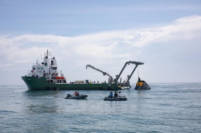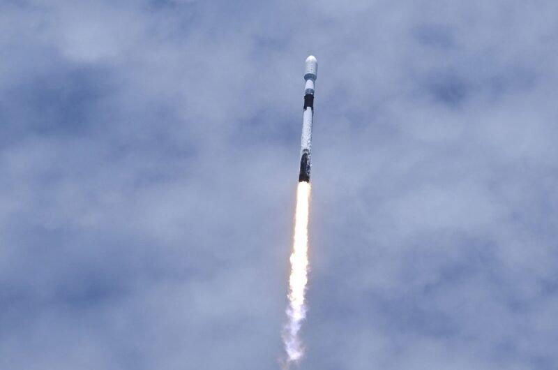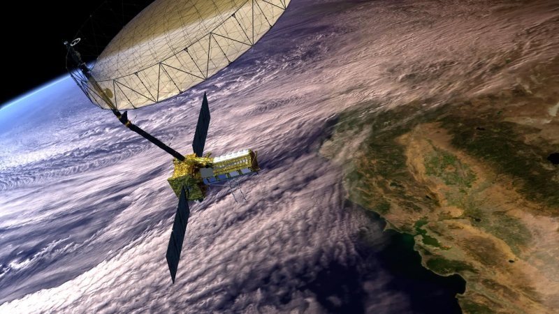
A groundbreaking Earth observation satellite is preparing for launch from India’s Satish Dhawan Space Centre near Chennai. Weighing nearly 3 tonnes and carrying a 12-metre radar antenna, the US$1.5 billion NISAR satellite is set to deliver unprecedented, centimetre-level surface data in near real-time, regardless of weather or time of day. This ambitious mission, a joint venture between NASA and ISRO, is poised to provide critical insights for sectors ranging from agriculture and climate research to natural disaster management.
For decades, satellites have been essential tools in observing Earth’s surface, tracking climate trends, aiding emergency operations, and monitoring ecosystems. However, conventional satellites rely on sunlight to capture images, limiting their effectiveness to clear, daylight conditions. This poses significant challenges in regions with persistent cloud cover or during night-time events.
NISAR, short for NASA-ISRO Synthetic Aperture Radar, sidesteps these limitations by employing SAR technology. Developed initially for military applications in the 1950s, SAR actively sends radar signals to the Earth and records their reflections, much like using a flash in a dark room. This allows it to image land surfaces through clouds, smoke, and even dense vegetation, making it invaluable during crises like floods, volcanic eruptions, or wildfires.
One of NISAR’s major advantages is its dual-frequency radar system — a first in satellite technology — enabling more detailed imaging than previous SAR satellites like Europe’s Sentinel-1. With enhanced coverage, including improved observations of Antarctica, and the ability to penetrate deeper into forest canopies, NISAR’s imagery will offer exceptional data on Earth’s changing ecosystems.
Another crucial feature of the satellite is its ability to detect minuscule shifts in ground elevation — down to centimetres or even millimetres. This will allow scientists to monitor changes in dam subsidence, groundwater depletion, earthquake-induced land movements, landslides, and volcanic deformations. The data generated will be freely accessible worldwide, helping authorities and researchers respond more effectively to natural disasters.
After more than a decade in development, NISAR is set to become one of the most advanced and costly Earth-imaging missions ever, promising to transform how humanity observes and manages its dynamic planet.
Topics #ClimateMonitoring #EarthObservation #GroundbreakingMission #IndiaSpace #NASAISROMission #news #NISAR #SARTechnology #SpaceScience